

GSD was awarded a Peatland Development Grant in June 2023 by Natural Resources Wales (NRW) to develop a realistic peatland restoration plan for a site near Machynlleth, Powys. Our work at GSD aims to contribute to the reversing of habitat loss in upland Wales and improving the condition of Welsh peatlands.
We are combining our extensive peatland survey experience and work on the Welsh Government Woodland Estate (WGWE) with expert GIS skills and spatial data management and analysis across the three claim periods for this grant (Jun 23 – Mar 24).
In phase one, GSD Project Manager Crona Hodges met with landowners and other stakeholders to discuss the aims of the project, access and permissions. A large proportion of our study area is open upland grazed habitat with three main stream basins. The private Estate land neighbours a large area of WGWE that is recognised as candidate land for afforested peat restoration. Available data of deep peaty soil suggests that a large contiguous area of deep peat, at least at one point, used to be present across both landholdings. This project will explore peat depths, hydrology, existing land use, vegetation and soil and create a single restoration plan that covers the whole study area, spanning across the land ownership boundary.
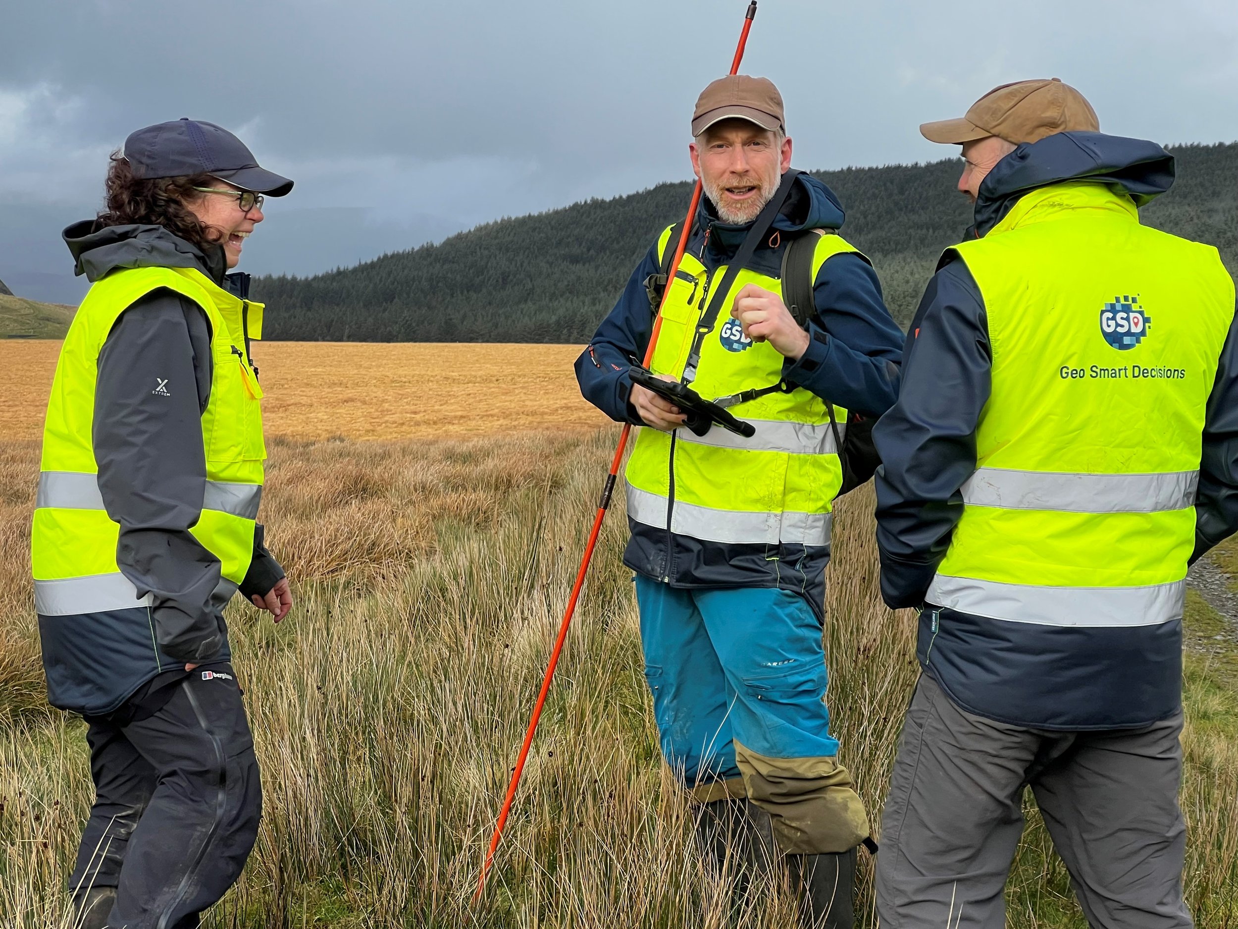
Our initial desk-based work included using freely available LiDAR data from DataMapWales to explore elevation, slope, stream networks and hillshade modelling in our study area. Our GSD drone pilot worked closely with our analysts to successfully collect and mosaic drone imagery of the area, and our surveyors collected data on vegetation, peat and soil. GSD’s years of experience to date with monitoring peatland on the Welsh Government Woodland Estate and our contributions to the National Peatland Action Programme in Wales has meant we are confident of our approach and the quality of the data being collected.
During phase two (current at time of writing), our team of data analysts are continuing to process the data collected in the field. In particular we are looking at the hydrology on site and locations of artificial drainage to inform the planning of rewetting on site. We have worked closely with Wales’ leading academics and have been fortunate that they are part of our wider team, bringing their expertise to the spatial analytics side of the work as well as the ecohydrological and peat restoration elements. Other work in this time period has involved fitting GPS collars to sheep to understand grazing behaviour and to inform the planning work going forward. Controlled sheep grazing can enhance the biodiversity of peatland communities, and this is also of interest here as we aim to take a holistic approach when putting the peatland restoration plan together.
During Phase three (early 2024), data collection, processing and analysis will conclude and our GIS experts will prepare the final GIS datasets for delivery to NRW. Project Manager Crona Hodges will meet with all stakeholders to discuss the results and the proposed restoration plan, this will include peatland experts, landowners and farmers. In alignment with the National Peatland Action Programme’s priorities, this project aims to address the sustainable management of peat and the enhancement of Wales’ biodiversity. It will have a strong positive impact on ecosystem resilience and support the effective sustainable management of Wales’ priority habitat areas helping to meet the Wales Net Zero target addressing both the Climate and Nature Crises.
