
Drones
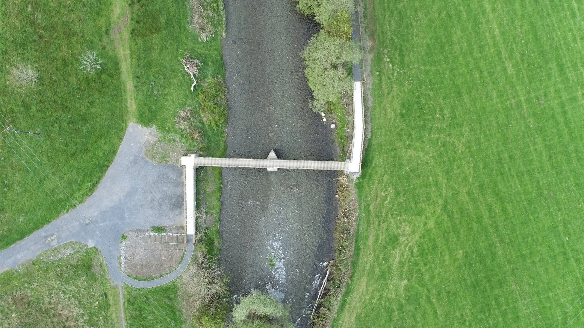
Geo Smart Decisions are experienced drone operators who deploy multi-rotor aircraft to collect high resolution imagery, videos and 3D data to support clients with bespoke applications in the environmental sector, including land cover and habitat classification, forest inventory, ecological surveys, topographic mapping and precision agriculture.
We provide clients with orthomosaics and digital elevation models ready to be imported into GIS or CAD software (including 3D meshes) and Canopy Height Models. We also perform bespoke analysis of 3D point clouds (e.g. object classification, vegetation metrics) captured from aerial imagery or lidar data.
-
Drone Services
GSD offer drone surveys and post survey imagery processing and analysis to support clients with bespoke applications in the environmental sector, including land cover and habitat classification, forest inventory, ecological surveys, topographic mapping and precision agriculture.